Australia Maps
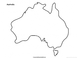
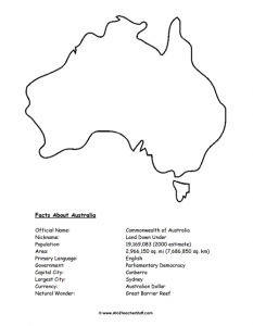
There are two one-page maps. The outline map shows Australia and Tasmania with a title. The map with facts adds a list of facts: official name, nickname, population (2000 estimate), area, language, government, capital, largest city, currency and a natural wonder.
Ways to use it
- Have students label Canberra, Sydney and the surrounding oceans on the outline map.
- Use the fact sheet to start a country report on Australia.
- Have students color the map and draw animals that live in Australia.
- Compare Australia’s area or population with your own country’s.
- Use the outline map for a geography center or a continents unit.
- Have students write three facts from the fact sheet in their own words.